Map - Rosedale 1905
https://archives.sac.on.ca/link/artifacts665
- Collection
- School Memorabilia
- Title
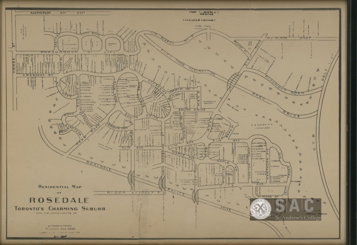
- Map of Rosedale, Toronto in 1905
- Category
- Documents
- Sub-Category
- Surveying and Navigational T&E
- Geographic Access
- Rosedale
- Start Date
- 1905
- Description
- 1 framed map : paper in glass; 30 x 40 cm
- Public Description
- A framed map of the Rosedale neighbourhood in Toronto during the year 1905. On this map are noted areas where the first two locations of St. Andrew's College were built.
- Material
- Paper
- Culture
- Artifacts from School days at St. Andrew's College
- Width
- 40
- Length
- 30
- Units Of Measurement
- centimeters
- Number Of Parts
- 1
- Accession No.
- 2022-1319
- Type
- Artifact
Images
{{ server.message }}
{{ server.message }}